Page 1 of 52
Name That Place!
Posted: 16 Aug 2006 09:21
by AngelBaby
Okay...so this is a little game that lets people play around with one of the coolest pieces of software currently in existence: Google Earth.
How it works is someone uses GE to snap a pic of a spot on this big blue globe we call home. They post the pic up in this thread, along with a clue if they think that might be needed, and the first person to guess correctly gets to post a GE-derived pic of their own and the game continues in this fashion.
RULES EDIT: How about we add a clue each time an incorrect guess is made?
Caveat: You don't necessarily need GE to play this game and guess the locations, but using this ubercool proggie is kinda the point.
I'll get the ball rolling! 

Posted: 16 Aug 2006 09:28
by Pitchit
Cape Canaveral
You can use Google Maps and get the same thing
Posted: 16 Aug 2006 09:33
by AngelBaby
Pitchit wrote:Cape Canaveral
You can use Google Maps and get the same thing
Yeah, yeah...but spinning the globe around and zooming in and out is cooooo. 
And you are correct. Kennedy Space Center, Launch Complex 39, Pads A & B.
Your turn!
Posted: 16 Aug 2006 09:44
by Pitchit
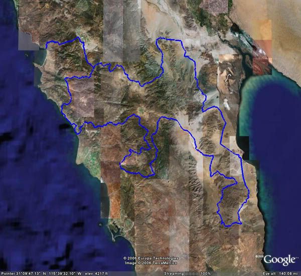
This would be obscure to anyone who does not like the same things that I do.
I will be really forgiving to anyone who even gets close. So, tell me, what does the blue line represent?
Posted: 16 Aug 2006 09:52
by Dex
Some sort of off-road baja race track?
Posted: 16 Aug 2006 09:56
by AngelBaby
Yeah, I was gonna guess the course route for the Baja 1000? 
ps. for everyone in the future...be sure to trim off the coordinates from the bottom of your pics.
Posted: 16 Aug 2006 09:59
by eamon angelface
There's a flight simulator that you can use with google earth that's kind of fun.
I have no idea where that blue lined place it. Panama?
Posted: 16 Aug 2006 10:07
by Pitchit
Well, I am going to give it to Dex although, AngelBaby got it more accurately.
It is the 2005 Baja 1000 race course. And, it is EXACTLY that course because the map was made using the GPS coordinates taken from the pre run vehicle.
Posted: 16 Aug 2006 10:12
by Dex
Pitchit wrote:Well, I am going to give it to Dex although, AngelBaby got it more accurately.
It is the 2005 Baja 1000 race course. And, it is EXACTLY that course because the map was made using the GPS coordinates taken from the pre run vehicle.
I just didn't know the official name.
I saw some documentary on it a while ago.. isn't it like... a 3 day race?
Posted: 16 Aug 2006 10:25
by Pitchit
Well, the track is different from year to year but it is usually close to 1000 miles, and and average speed for the winner is usually around 50 MPH.
The fastest guy will finish in somewhere around 20 hours.
Your turn Dex.
Posted: 17 Aug 2006 10:59
by AngelBaby
Dex has passed his turn to me...desu~

This is a natural formation, and a monument to military leaders of a nation that no longer exists is located there.
Posted: 17 Aug 2006 22:31
by smash
Angel,
I am going to assume that its an indian burial of some sort. Or perhaps Mesa Bluffs of the Pueblo. But I'm too lazy to try and find via google. So, if I am right, I just helped someone solve the clue. If I am wrong, I hope I steered someone, horribly, horribly, awry.
Posted: 17 Aug 2006 23:12
by AngelBaby
^^^
you. are. wrong.
DID YOU NOT READ THE CLUE I GAVE YOU
/suzi
Posted: 17 Aug 2006 23:52
by Hortnon
My guess was somewhere in the area of Italy, but I couldn't find it...

Posted: 18 Aug 2006 00:07
by AngelBaby
^^^
not in Italy...